Hidden Canyons, Secret Places
Every now and then, one discovers areas or specific places in Cyprus that seem to have magic power. You cannot explain it, but when you walk through certain landscapes or stand on special spots, you can’t help but feel the full power of nature and the “personality” of rocks and soil beneath you. The wind sings to you, the trees wink at you and the birds fly by and nod their heads, as if to say “What took you so long?”
The Blow Holes at Lara


Lara-North: One of the best and only natural sandy beaches on Cyprus’ rocky western coastline.
One of the best, almost the only, natural sandy beach locations on Cyprus’ western coastline is called Lara. It has two stretches of naturally occurring sand deposits, or beaches, one on the southern side, and another on the northern side. Between them stands a thick deposit of limestone, stretching (between “Kholkhlakhas” and “Kryos Kolymbos”) almost two kilometers in length, which used to be a detatched island or reef, but now connected to the main western coast via the two sandy beaches or “tombolos.” The complete structure of Lara as a promintory landform is a significant feature of the island’s West Coast.

Lara Promintory as it appears on the 1882 map from H.H. Kitchener.
In the centre of Lara promintory, there may once have been a basin or small salt lake. Once this area was filled in with a mix of sand and colluvial soils, it became an attractive area for dry-farming and settlement. In the mid-1960s there were short-lived archaeological excavations by Michael Fortin, which suggested occupation of central Lara during the Late Bronze Age.
Today, Lara is mainly known for the Turtle Conservation Project, which is based on the northern beach and founded by the renowned marine biologist and ex-Director of the Dept of Fisheries, Cyprus, Dr Andreas Demetropoulos in 1978. The rich deposits of sand make Lara (and the nearby Toxeftra locality) ideal for sea turtle nesting activities. It is most likely that sea turtle nesting at Lara and surrounding areas has been occurring for many millenia, certainly well before humans first set foot on Cyprus.

Lara-North: The Lara Turtle Conservation Project during one of its early stages when the conservation team, led by project founder, Dr Andreas Demetropoulos, used to sleep on site in tents.


A sea turtle is depicted on the mosaic floor of a Basilica (5th-6th Century) at Ayios Yiorgios tis Peyias, not far from Lara.
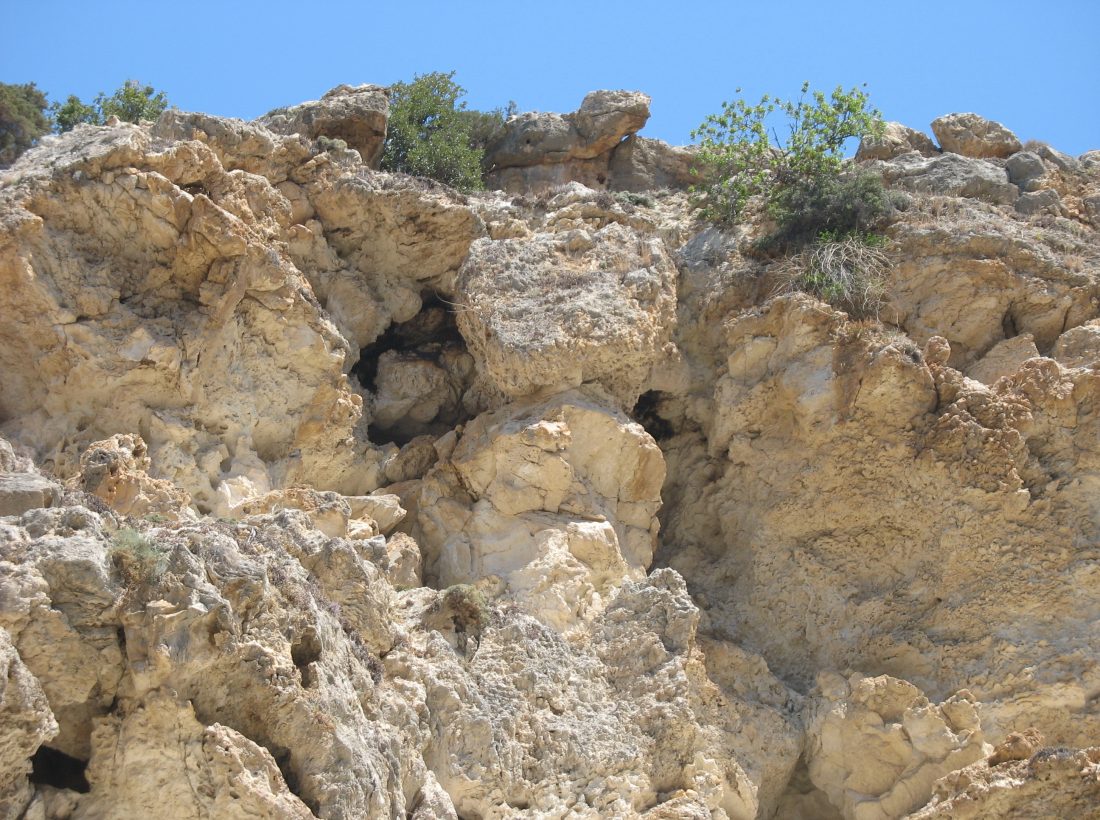
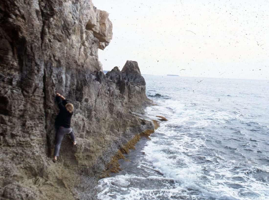
One of the less known features of Lara is found on and within the former limestone reef standing between the two beach fronts, north and south: a series of subterranean sea caves, narrow mini-canyons and connecting tunnels. These were formed natuarally over long periods of time with wave energy, a times driven by powerful westerly winds, pounding into the exposed western face of the limestone reef. At times, the spray of sea water generated by the waves attacking the west-facing limestone cliffs can be quite strong, with spray rising many metres above waterline. Sea water high in salt content collects in holes and hollows along the uneven limestone surface and, once evaporation takes place, rich deposits of salt occur at various locations along the limestone surface. Historically, this part of Lara has been well known by local shepherds as a place to collect sea salt.

The spray of sea water bounding into the exposed cliffs can rise many meters above the waterline.

Sea Spray causes many salt deposits to form in nooks and crannies at various locations across the limestone surface.
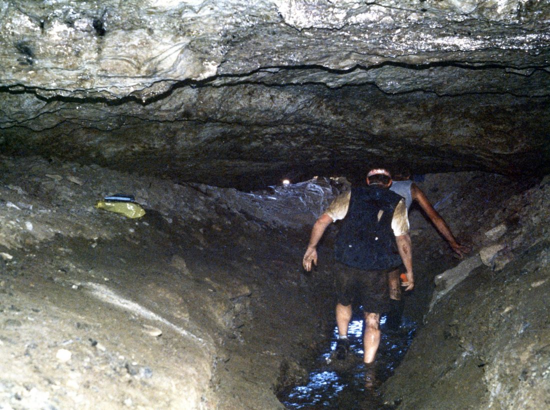
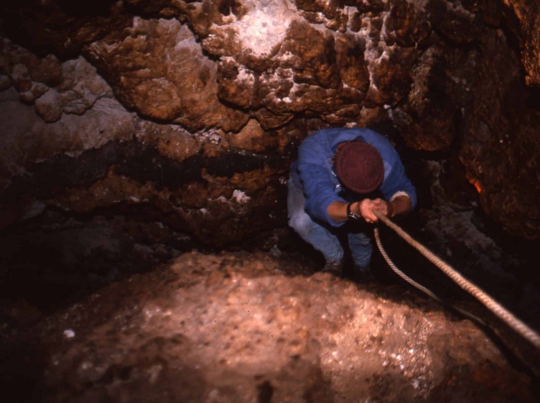
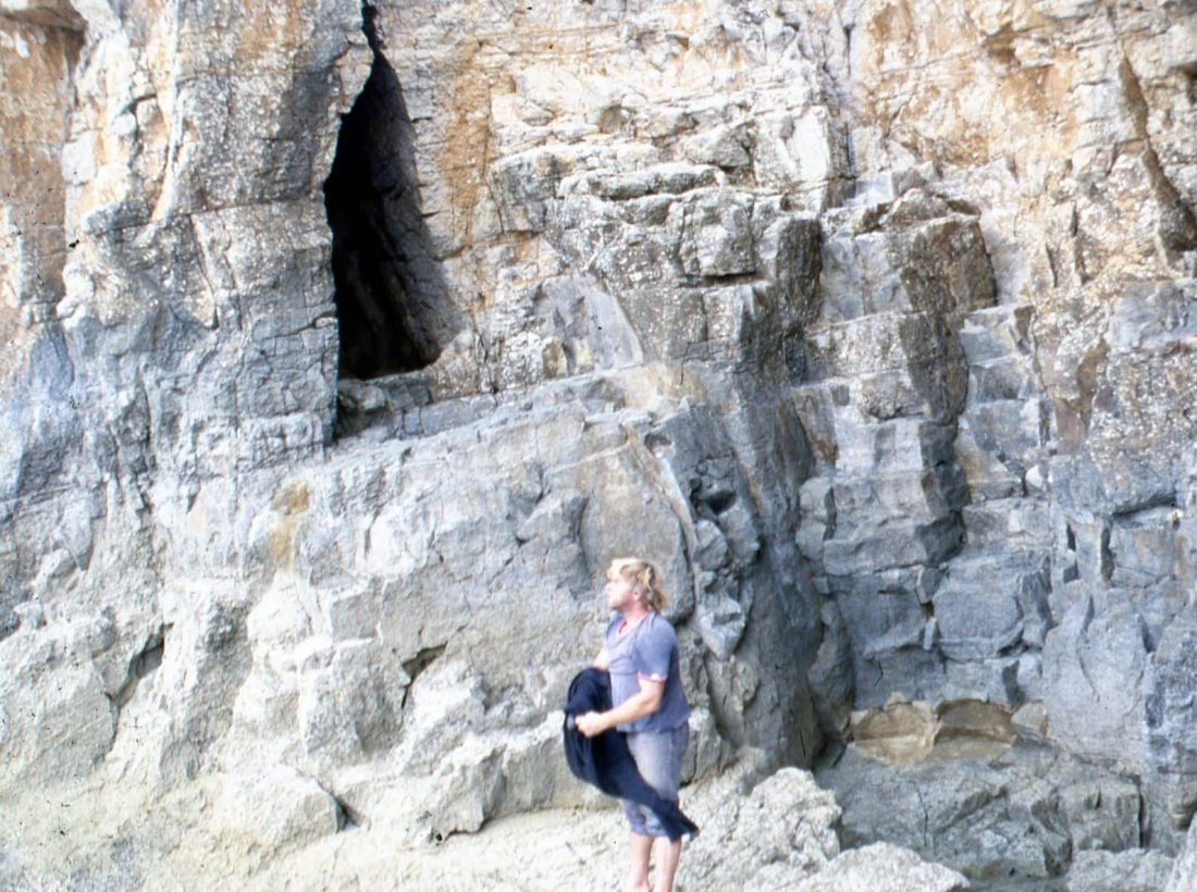
Exploring the Blow Holes
Some years ago, together with friend and fellow explorer Paul Croft, I was able to enter and explore the sea caves by using a series of subterranean cavities or tunnels. These photos tell the story:
-

- Entering the network of subterranean chambers through the top of one of the Blow Holes.


One of the mini-canyons that can be entered from the waterline facing Lara’s western cliffs.
To be continued…